Find Location From Image: 6 Practical Methods
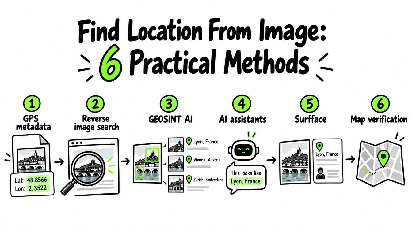
To find a location from an image, check its GPS metadata, search for matching photos online, examine visible clues and compare possible places on a map. Dedicated GEOSINT AI tools such as GeoSpy and Picarta can estimate likely locations without GPS data, though some restrict access to qualified professionals. If a face is your main clue, Surfface can uncover public sources with useful context. Where a photo was taken does not confirm someone’s current whereabouts.
A landmark photo and a cropped selfie need different approaches. Start with the strongest available clue, choose a tool suited to it and verify what you find.
How to find location from a photo: choose your starting point
1. Check EXIF data for GPS coordinates
EXIF is information stored inside an image file. It can contain camera settings, timestamps and GPS coordinates.
Inspect the original file. On an iPhone, open the photo then swipe up or tap the information button. On a computer, use a metadata viewer
Finding intact GPS tags in an ordinary social-media download is uncommon. Many platforms remove metadata from publicly served images, often protecting users’ privacy. Screenshots also lose the original photo’s EXIF. That privacy protection is valuable.
Missing GPS tags do not mean the image is fake. Existing coordinates are also a lead rather than proof because metadata can be changed.
2. Run a reverse image search
Reverse image search looks for the same photograph or visually related images. A matching tourism page, news caption or venue listing may identify the location.
Try this workflow:
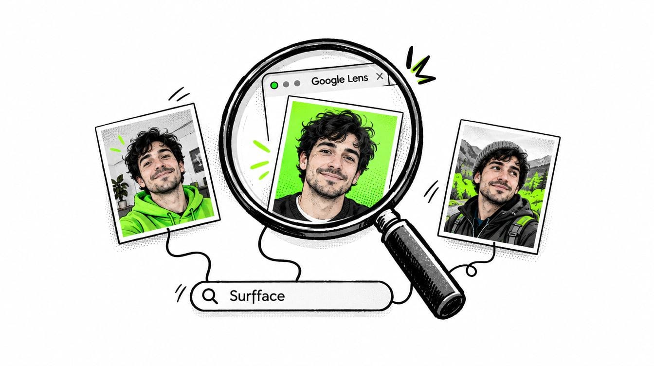
- Upload the full image to Google Lens.
- Open matching pages and read the surrounding text.
- Search separate crops of a landmark, storefront or skyline.
- Add visible words or a suspected region to refine the search.
- Review relevant result categories instead of stopping at the first screen.
Google Lens supports image uploads and searches within selected areas.
Try other image engines such as TinEye too because their indexes differ.
A duplicate proves the photo appeared elsewhere. The page’s location claim still needs checking. See our advanced image search techniques for more ways to refine a search.
3. Try specialist GEOSINT AI tools
A dedicated AI location finder from image content can suggest where a photo was taken from architecture, vegetation and other visible patterns. GPS metadata is not required. These tools are worth trying when reverse image search finds no useful matches.
GeoSpy / Raven: professional access
GeoSpy has evolved into Raven, Graylark’s visual intelligence platform. It offers regional estimates and more precise location candidates where imagery and geographic coverage support them.
Access is subject to review and approval for qualified organizations. The platform primarily serves law enforcement, government agencies and investigative teams, with limited availability for individual users.
Confirm coverage for your target area. Advertised meter-level capability does not guarantee that precision worldwide or for every image. Similarity scores are not automatically probabilities of correctness.
Picarta: a public photo location finder
Picarta offers worldwide visual geolocation through photo uploads or image URLs. It returns candidate coordinates and lets users search globally or focus on a country or area.
Its current pricing page lists one free search followed by paid credits or subscriptions. The web service is available to individuals but API access requires an Enterprise account and approval. Worldwide search does not mean equal accuracy everywhere.
EarthKit: AI-assisted GEOSINT research
EarthKit combines GeoCLIP image-location estimation with tools for exploring street imagery, satellite imagery and OpenStreetMap queries.
It is open-source and advertises a free compute credit on signup. Its developers warn that features may be slow, unstable or unavailable. It is an option for researchers willing to explore an experimental toolkit.
4. Ask ChatGPT or Gemini for location clues
A general AI assistant may notice a writing system, transit logo or architectural detail you missed.
ChatGPT, Gemini, Claude and other LLMs are general-purpose assistants rather than dedicated GEOSINT systems. Use them to develop leads and search terms.
A useful prompt is:
Examine this image for geographic clues. Separate visible observations from guesses. Transcribe readable text. Suggest three possible regions and explain what evidence would distinguish them. Do not invent an exact address.
Avoid suggesting your preferred answer. Check every observation yourself, especially text the model claims to read.
5. Use Surfface when the face is your strongest clue
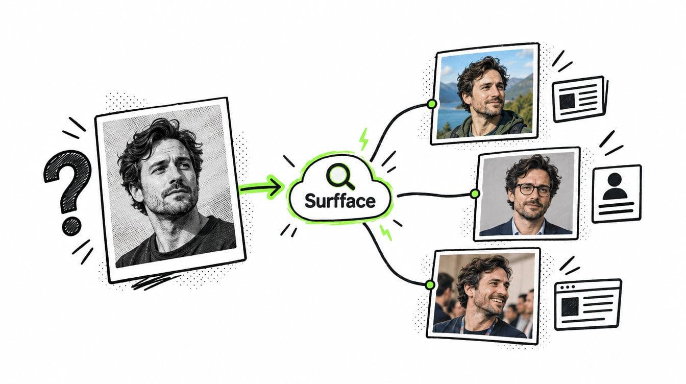
When a photo contains a clear face but little background, search where that face appears online.
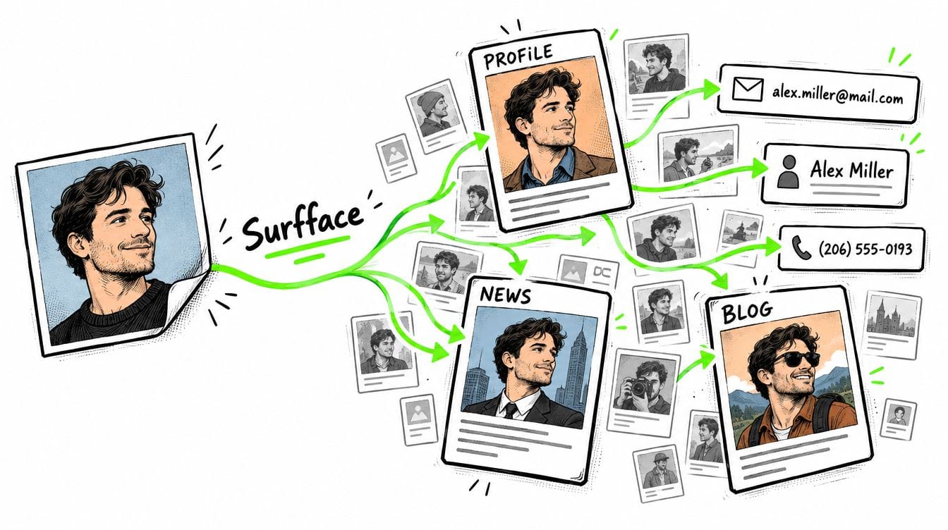
Surfface is a face search orchestrator. It combines its own index with major image search engines and third-party tools to discover possible matches across public social profiles, news, blogs and available U.S. public records such as mugshots and sex offender registries.
Start with a clear adult face photo. Review possible matches. If promising results appear, unlocking the search requires paid credits and gives you source links for verification.
An article may name an event venue or a public post may identify a destination. Check whether it explains your photograph.
Surfface discovers public sources rather than calculating capture coordinates. A profile city or record jurisdiction does not establish where your photo was taken. Confirm the face match first, then evaluate the location claim. Learn more about how to find a person by photo.
6. Use manual GEOSINT to compare visual clues with maps
GEOSINT uses publicly available geographic information to investigate places. For photos, that often means combining clues with street imagery and satellite views.
Look for combinations:
- A readable business name beside a distinctive intersection.
- A bridge with an unusual tower arrangement.
- A church next to a railway line.
- A waterfront skyline with a recognizable hill behind it.
Search the strongest clue first. Then compare the arrangement of features in Google Maps, Street View or other available imagery.
Watch Bellingcat’s OpenStreetMap search tutorial for a practical demonstration of finding geographic leads.
Check whether several fixed features line up from the same viewpoint: the road bend, bridge position and roofline.
Check imagery dates too. Renovations, demolished buildings and seasonal vegetation can explain differences.
Before accepting a location, check what the evidence proves
Keep three questions separate:
- Where was the photo taken?
- Where did someone publish it?
- Where is the person now?
Those answers can be different.
Record sources, dates and supporting details. Seek independent confirmation because reposts may repeat one incorrect caption. Leave insufficient evidence unresolved.
FAQ
Start with the original file and check for GPS coordinates in its metadata. Then run a reverse image search and examine signs, landmarks, architecture and terrain. Specialized GEOSINT tools such as Raven and Picarta can suggest candidate locations without GPS data. Verify those candidates against original sources, street imagery and satellite views.
Yes, if the photo contains enough useful visual information. Readable business names, distinctive buildings, road layouts and landscape features can help identify a place. Raven and Picarta analyze visual patterns without requiring EXIF. However, generic interiors, blank backgrounds and heavily cropped images may provide too little evidence for a reliable result.
Accuracy depends on visible detail, image quality, geographic coverage and the method used. Regional estimation suggests a broad area while precise matching searches for corresponding reference imagery. Raven can return precise candidates where conditions support them but this is not a guarantee for every photo. A precise map pin or high similarity score does not prove the location is correct.
No. Raven, the professional platform that evolved from GeoSpy, reviews access for qualified organizations and primarily serves law enforcement, government agencies and investigative teams. Picarta offers public web searches with limited free use and paid options but restricts its API to Enterprise accounts. EarthKit advertises compute credits on signup and warns that experimental features may be unavailable.
Surfface can uncover public sources featuring possible face matches, including profiles, news articles and available U.S. public records. These sources may contain location clues but Surfface does not track someone’s live whereabouts or calculate where a photo was taken. Verify the identity match, source date and context before interpreting a location. A profile city, event venue and current residence can be different places.
Rarely. A screenshot creates a new file and generally does not preserve the original photograph’s GPS metadata. However, visible landmarks, signs and surrounding details remain useful. Reverse image search may uncover the original publication while Raven or Picarta can estimate locations from the scene. Preserve the full screenshot because captions and interface details may provide additional context.

Stan leads product marketing at Surfface, bringing a mix of experience in OSINT and private investigations, along with expertise in digital marketing and product management.